Enterprise Communication Solution for Speed & Reliability
Engineered a next-gen enterprise communication solution that unified voice, data, and mobility—empowering frontline workers with faster, more reliable connectivity.
Telematics Platform That Redefined Real-time Fleet Tracking
Engineered a next-generation enterprise telematics platform that transformed real-time fleet tracking—delivering speed, precision, and automation at global scale.
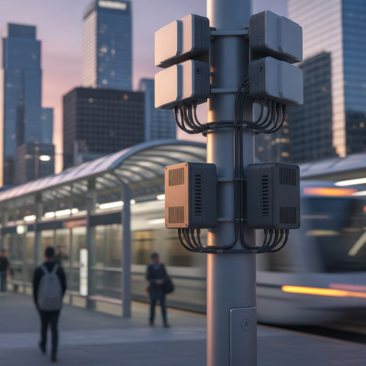
Engineered an intelligent edge computing ecosystem that pushed real-time processing closer to the source—delivering speed, security, and cost efficiency at enterprise scale.
Delivered an AI-driven radio streaming platform that improves ad detection accuracy, enables region-specific content personalization, and enhances overall user experience.
Delivered a modern, interactive e-commerce platform that enhances user engagement, real-time stylist interaction, and seamless Salesforce integration for personalized bridal shopping.
Delivered an AI-driven automated data curation platform that streamlines content discovery, scheduling, analytics, and brand consistency for enterprise sales teams.
Built an AI damage detection platform that automates turbine inspections, accelerates fault identification, and enables real-time maintenance decisions across wind farms.